
Projects
Geospatial applications, reproducible machine learning, and systems engineering. Explore the code, experiments, and results behind my work.
GeoVision Bench
Reproducible PyTorch land-cover classification on 27,000 EuroSAT satellite images. Includes audited data splits, validation-only calibration, error analysis, and a six-run augmentation study. The image-level split does not establish geographic generalization.
TileFlow Inference
PyTorch inference over large images using bounded tile batches, overlapping predictions, and context halos. Includes numerical parity tests, a CNN denoising experiment on EuroSAT images with simulated noise, and measured CPU memory–latency trade-offs.
ML Eval Forge
A NumPy evaluation lab for deterministic model training, validation-only calibration, inference benchmarks, and replay validation of saved experiment artifacts. Uses synthetic data, with regression tests and a debugging case study documenting inconsistent artifacts and loss reporting.
Chronos Dispatcher
Java job scheduling and worker dispatch with delayed queues, idempotency deduplication, exponential backoff retries, and a dead-letter queue. Includes a runnable demonstration and deterministic verification tests.
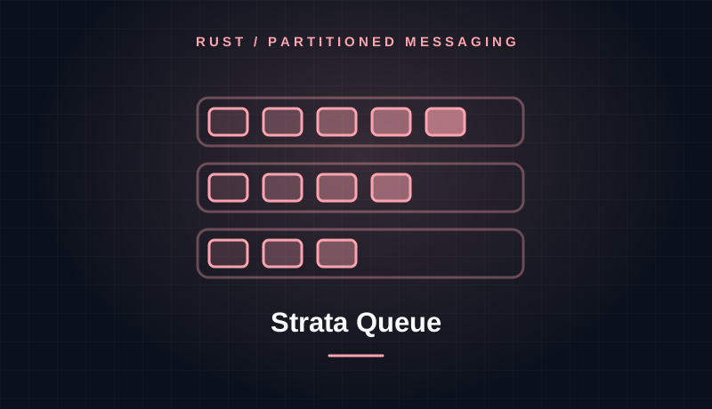
Strata Queue
A Rust message broker exploring partitioned topics, key-based routing, sequence offsets, independent consumer groups, and dead-letter handling. Includes tests and a producer–consumer demonstration.

Zenith Gateway
A Go gateway project demonstrating token-bucket rate limiting, circuit-breaker states, and weighted round-robin routing. Tests exercise request rejection, circuit transitions, and rerouting around degraded backends.
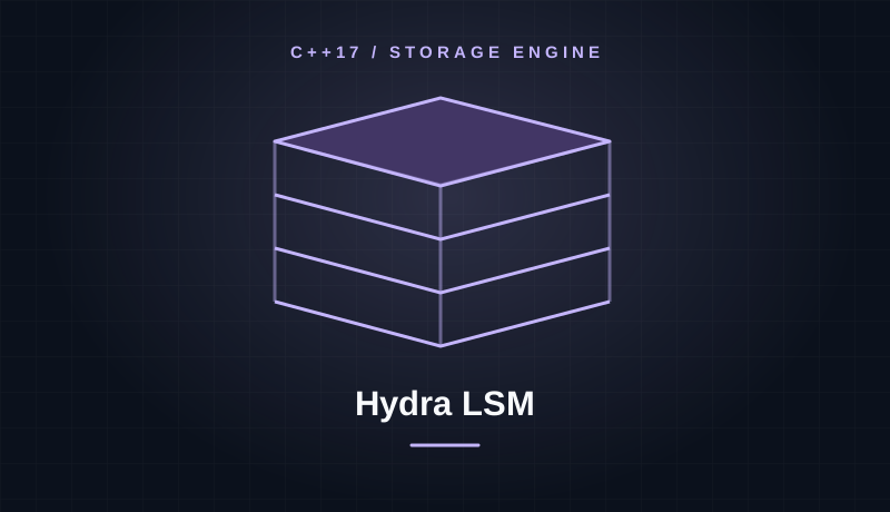
Hydra LSM
An embeddable C++17 storage-engine project built around an LSM-tree. Implements a MemTable, write-ahead log, immutable SSTables, Bloom filters, and tombstone deletion, with a runnable storage lifecycle demonstration.

Nexus Workflow
An asynchronous Java workflow orchestrator for directed acyclic graphs. Includes dependency scheduling, parallel execution with CompletableFuture, cycle detection, configurable retry policies, and per-step latency tracking.

Vortex Search
An in-memory Rust full-text search engine with tokenization, stop-word filtering, a positional inverted index, BM25 relevance ranking, and result snippets. Includes a command-line demonstration and tests.
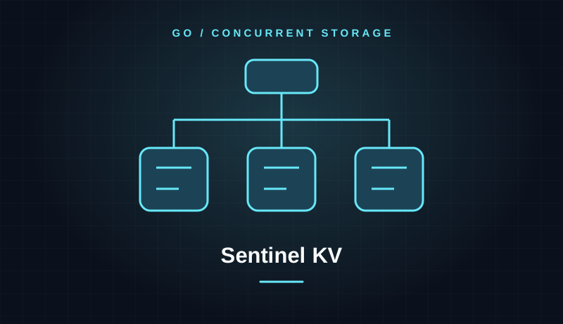
Sentinel KV
A Go key-value engine exploring sharded concurrency, LRU eviction, TTL expiration, and write-ahead logging. Includes operational counters, race-test commands, and a concurrent read/write benchmark.

TaxNaija - 2025 Compliance Interface
High-precision compliance platform for the Nigeria Tax Reform Acts 2025. Features a secure AI-powered assistant (Gemini API), automated CIT assessments, and progressive PIT calculation engines.
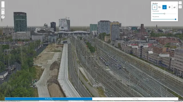
Interactive 3D City Mesh
Immersive 3D scene utilizing integrated mesh layers to simulate changing weather patterns, flood toggles, and realistic lighting to demonstrate environmental impacts.
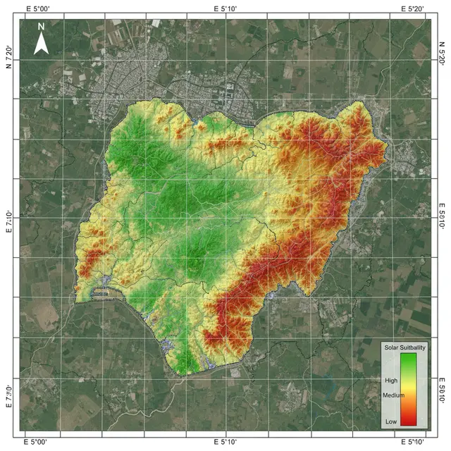
Solar Suitability Mapping
GIS-based multi-criteria analysis for solar installation site selection in Akure and Ikorodu using Conditional Tool and weighted overlay techniques.
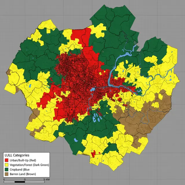
LULC Classification Analysis
Land Use/Land Cover analysis of Akure using remote sensing data and supervised classification techniques to monitor urban sprawl and vegetation health.
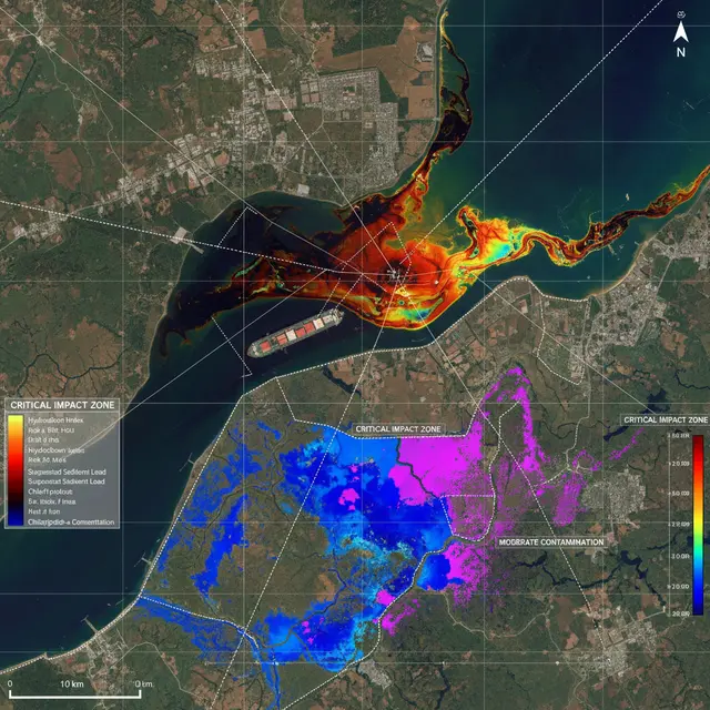
Oil Spill Assessment
Satellite imagery-based oil spill assessment in Oyigbo, Rivers State for environmental monitoring, impact evaluation, and remediation planning.
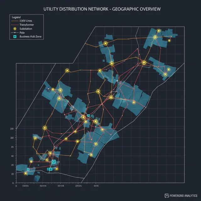
Utility Asset Publishing
Published spatial distribution of 11kV and 33kV electricity network assets across 5 business hubs in Osun State using Esri Enterprise Portal.
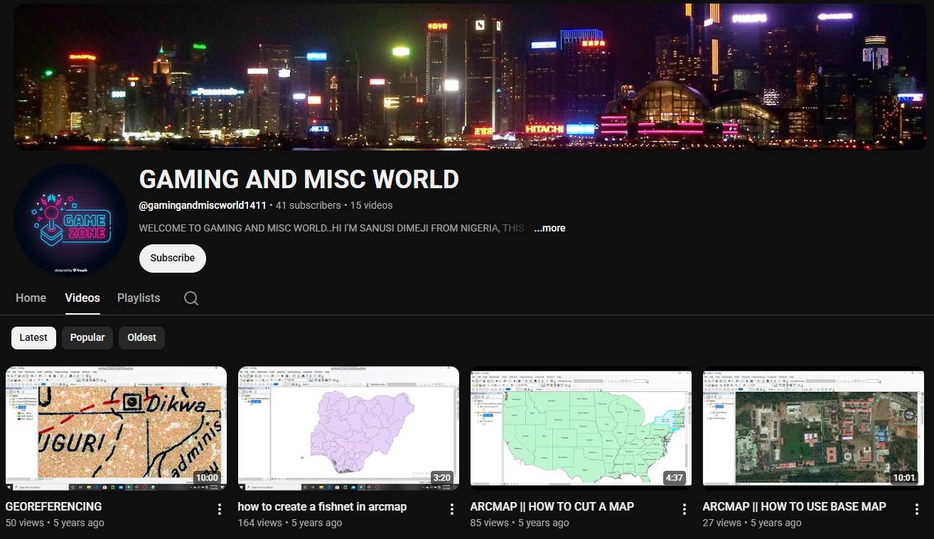
GIS Education Channel
Teaching GIS and Remote Sensing techniques via YouTube, making complex geospatial concepts accessible to learners and professionals worldwide.
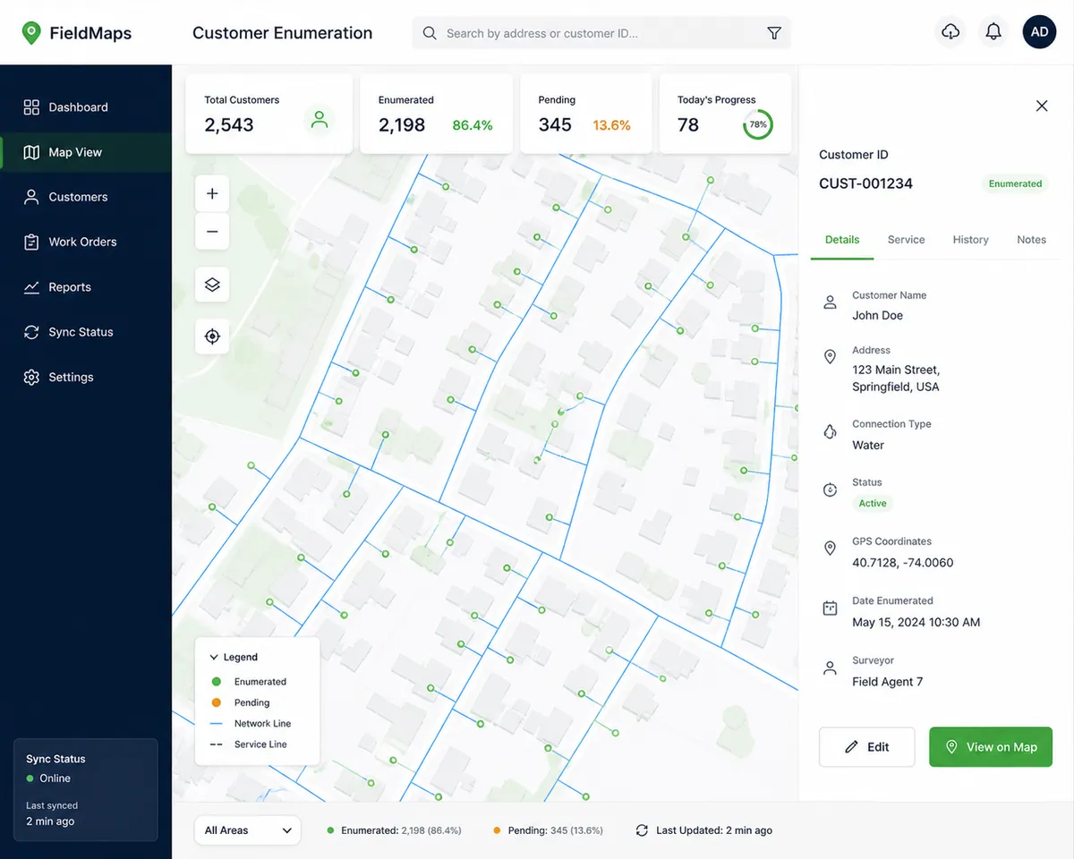
Customer Enumeration System
Customer enumeration and CIN data collection system supporting accurate billing, network planning, and improved service delivery for utilities.
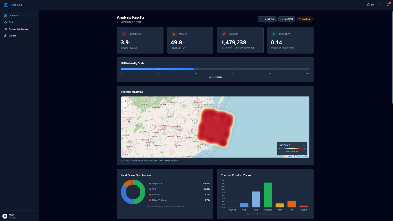
UHI-LST Analysis Platform
High-performance platform for Urban Heat Island (UHI) assessment and LST inversion using Landsat 8/9 imagery. Features vectorized processing and ML-based land cover classification.
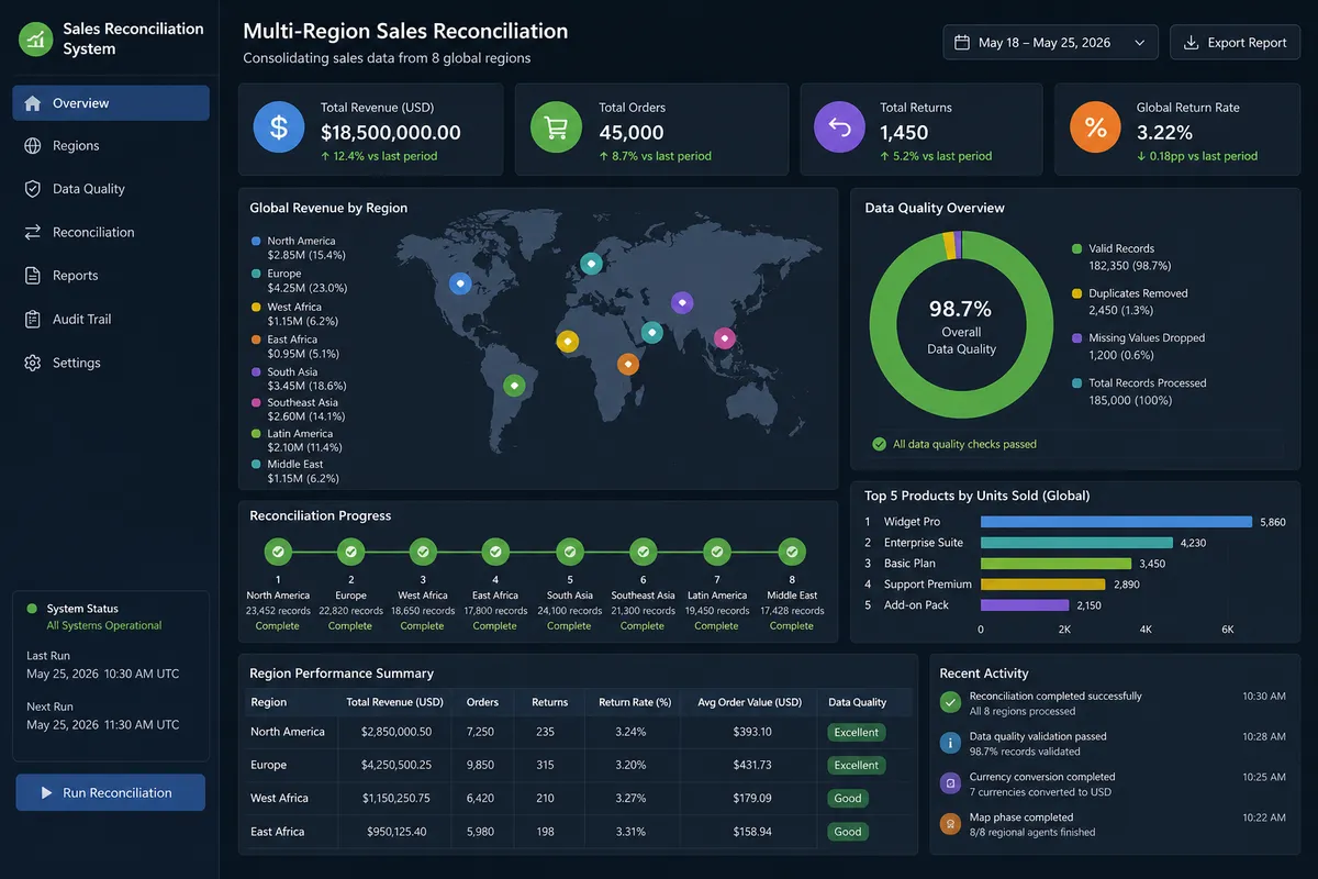
Multi-Region Sales Reconciliation
Developed as the Leading SwarmBench Task Engineer for Data Analysis. This distributed system reconciles sales data across 8 global regions using a multi-agent swarm architecture.
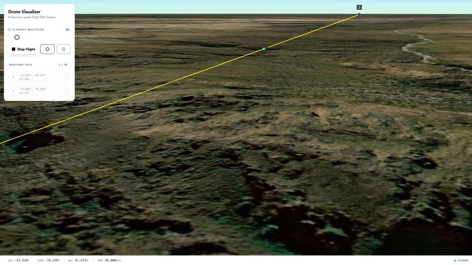
Drone Flight Path Visualizer
A browser-based geospatial application for planning and animating drone missions on a photorealistic 3D globe using CesiumJS and CZML. Built as a Cesium Certified Developer submission.